Spatial Career Guide – How to Become a Geospatial Analyst
In my last post I proposed 5 skills to develop during college that should help you become a successful GIS Software Developer as part of my series of blog posts on Spatial Careers. In this post I’m writing about the Geospatial Analyst career track. This one is more challenging because the path isn’t well defined.
The job title Geospatial Analyst means almost nothing unless you know what industry, government agency or sector of the economy you’ll be working in. There are several sub-sectors here and you almost have to choose one to target before you start outlining the courses you plan to take in college or the extra study you might pursue during your spare time. Here are a few categories of employer types and industry types:
- Military – Geospatial Intelligence Agency, CIA, other DoD
- Environmental – EPA, Nature Conservancy, other non-profits, environmental consulting firms
- Retail/Commercial Real Estate – Large retailers, consulting firms, technology firms developing relevant applications for real estate decisions and real estate professionals
- Municipal/County/State Government Agencies – Maintaining a GIS back-office for local government agencies to assist with tax collection, utilities, etc.
- Urban Planning – Similar to local government but focused on planning and design.
- Geohealth – CDC, NIH, hospitals, public health agencies.
- Other commercial/business uses.
- Other government agencies, e.g., Census
You can’t really prepare for all of these simultaneously. For example, if you work in the environmental sector you better know how to handle raster data and remote sensing imagery with software like ERDAS Imagine, maybe ENVI, and a few others. But, you’ll never touch any of that stuff in Retail/Commercial where you probably want to know some economic geography along with some spatial analysis, statistics, cartography and GIS (actually MapInfo Pro is more common in this sector than ArcGIS and a new software offering called Alteryx is now a big deal). If you work for the Geospatial Intelligence Agency they will teach you all the tools you need to know. I don’t know if this is still true but for some time their geospatial analysis applications all worked with an obscure data format called VPF. Anyway, hopefully you get the idea. Each sector has its own skill set.
So if you know you want to be a geospatial analyst but you don’t know what area of application most interests you I guess I would recommend that you start trying to find out. Contact people in various fields and ask them questions about how they spend their time. Do something that you’ll find fun and interesting on a day-to-day basis rather than worrying about which sector pays the best. Everything changes too fast for you to accurately forecast the future of a professional niche but you can predict how you’ll like various tasks, topics and application areas with some degree of certainty if you know yourself. And, if you’re doing something you enjoy you’ll be more successful.
If you just don’t know and want to be prepared for anything I would suggest the following:
Take a combination of Human and Physical Geography. Not just the intro level classes. On the Human side, take political, urban, economic and cultural geography course offerings. Don’t just go through the motions, read some of the big thinkers. Take a look at Yi Fu Tuan’s work on perceptions of place/space. See what Sack has to say about territoriality. Read Carl Sauer’s work on cultural landscapes. Study Christaller’s theory of central place. Think about these ideas and how they apply to modern problems. On the Physical side, take classes in climatology, biogeography and geomorphology. Pick up recent copies of the Annals of the Association of American Geographers (they will be in the library, on every faculty bookshelf and probably strewn about the department office) and browse through some of the articles on environmental issues. Take an individual study course with a professor you like and dig into a topic – maybe offer to do some research for a paper that they want to publish. Don’t get hung up on the particulars – just be sure you’re somewhat fluent in both Human and Physical geography so you know what you’re looking at when you start staring at maps 8 hours a day.
Take the standard set of Cartography and GIS courses but don’t worry about depth of knowledge with any one technology unless it’s within the context of a cool project where you’re also thinking about a real problem. Don’t forget to take cartography classes as well. GIS is not the same as cartography. You should understand how to design information graphics. Read Tufte’s work on data visualization(but don’t worship him) and develop an eye for what makes an effective graphic.
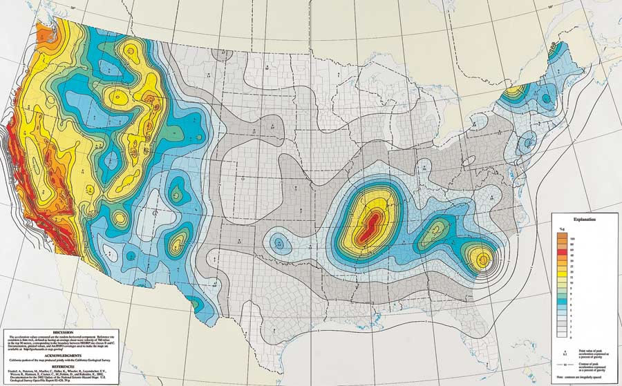
Learn something about remote sensing and other major sources of geographic data – again, ideally within the context of a project. Don’t spend months stitching together images for a cornfield in Iowa unless you have a project (and preferably a paycheck) to justify the time. Instead, just get some ideas about remotely sensed imagery and how it can be used to solve problems. Figure out how the images are processed into analyzable data. Think about the different resolutions of data available and what scales are appropriate for different types of problems. Learn about other data sources as well. NOAA and the NCDC have good stuff. Census has data coming out their ears – know the difference between a block group a census tract and a CBSA. Same with NIH, National Cancer Institute, CDC, etc. Poke around.
Also, read what I wrote about problem solving, writing/communication and teamwork (bullets 2, 3 and 4) in the GIS Software Developer post.
That’s about it. When you look to join the workforce be sure that you angle for jobs where you’ll be doing *analysis* rather than data management. Some GIS technician jobs may be titled GIS Analyst or Geospatial Analyst. But if you’re just digitizing or editing .shp files you are definitely not analyzing anything and your GIS software user skills will decline in value. If you get a job as an analyst where you are responsible for analyzing a variety of data sources and making strategic recommendations you’ll have a bright future.
If this all sounds a bit too amorphous then becoming a Geospatial Analyst may not be for you. Part of being an analyst is taking a big pile of seemingly unrelated data elements and synthesizing them into something that can guide a decision framework. If you’re not comfortable with this you might prefer a career as a GIS Software Developer or one of the other spatial paths.